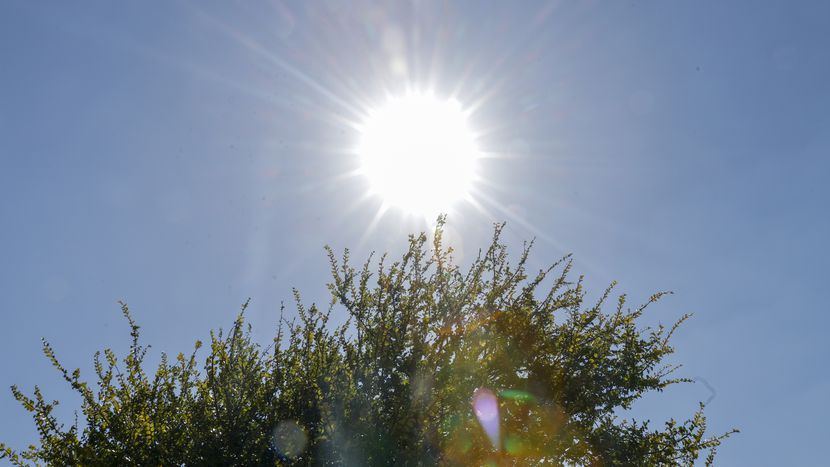
North Texans could see record-breaking heat for February, with temperatures expected to climb to a high of 90 degrees on Monday, the National Weather Service says.
A normal temperature for the Dallas-Fort Worth area on Monday would be 63 degrees. The heat record for that day — 90 degrees — was last seen in 1917.
“Climatologically speaking, we are pretty much way above what’s normal for this time of the year,” said Patricia Sanchez, a meteorologist with the National Weather Service in Fort Worth. “Typically, we would see our first 90-degree day in March.”
Dallas-Fort Worth and Waco areas have a 50-60% chance of surpassing that 90-degree record Monday and a 20-30% chance they will stay below, officials from the weather service said. Forecasters have more confidence temperatures will reach that high in North Texas, Sanchez said.
Sanchez said Tuesday will also be “fairly warm” and has the potential to break another record, which was 85 degrees for that date. Tuesday’s forecast shows a high temperature of 87.
The hot, dry and breezy conditions expected mean an elevated threat for grass fires on Monday and Tuesday, particularly along and west of Interstate 35, according to the weather service. That area is where the warmest temperatures will be with the east being cooler, Sanchez said.
North Texas hot weather ‘abnormal’
Looking at the past three decades, the hot weather is “abnormal,” Sanchez said. The expected high temperatures — typically seen in North Texas around mid-March — are early, she said.
However, last year on Feb. 21, the area also saw a 90-degree high. A cold front followed with temperatures dipping to 49 degrees before rising back up to 85 in the following week, she said.
“It’s all over the place just because we’re still kind of in that winter period in terms of getting those strong cold fronts that move this far south and bring that very cold temperature,” Sanchez said.
During February and heading into early March, North Texas is also seeing more sun, raising high temperatures while strong cold fronts continue to arrive from Northern and Arctic areas.
The weather during this time is “kind of flip-flopping,” she said.
Cooldown to follow record-breaking heat
Following the heat early in the week, a cold front is expected to blow through North Texas late Tuesday into Wednesday, officials from the weather service said. There is a slight chance of showers and storms, particularly to the east and north, but the immediate Dallas-Fort Worth area may stay dry, Sanchez said.
The best rain chances are east of Interstate 35 and north of Interstate 20, with a few storms possibly becoming strong with gusty wind and small hail, according to the weather service.
By Thursday, temperatures are expected to be near or below normal, and more rain with the potential of isolated thunderstorms is possible, officials from the weather service said.
“It’s not going to be that everybody will see something, but at least there’s that low chance on Thursday and Thursday nights,” Sanchez said.
Latest forecast from KXAS-TV (NBC5):
Saturday: 76/56, sunny
Sunday: 82/57, sunny
Monday: 90/66, mostly sunny
Tuesday: 85/53, mostly cloudy
Wednesday: 63/42, mostly cloudy

